
Easy Diving with Navigation
Certification Card
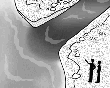
Types of Navigation
Surface Natural Navigation
Surface Compass Navigation
Underwater Natural Navigation (1)
Underwater Natural Navigation (2)
Underwater Compass Navigation (1)
Underwater Compass Navigation (2)
Underwater Compass Navigation (3)
Underwater Compass Navigation (4)
Underwater Compass Navigation (5)
|

|
|
Underwater natural navigation allows you to determine your position
by observing terrain features and environmental characteristics.
At familiar dive sites, experienced divers can estimate their underwater location
with considerable accuracy by using natural references.
Common and reliable reference points include:
|
|
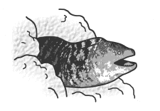
● Terrain and Structures
Large rocks, reef formations, drop-offs, artificial reefs,
wrecks, and other prominent structures serve as excellent landmarks.
|
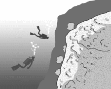
Drop-off
|
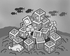
Artificial Reef
|
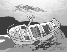
Wreck
|
● Bottom Composition
The seabed often changes gradually from rocky areas near shore
to larger stones and eventually to sand as you move offshore.
Recognizing these transitions can help determine direction.
|
|
● Marine Life
Many reef fish remain within a limited territory.
Corals and soft corals are fixed in place and provide reliable reference points.
|
|
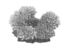
Coral
|
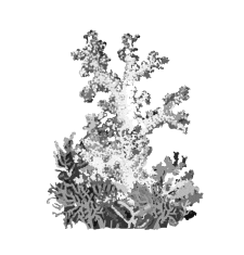
Soft Coral
|
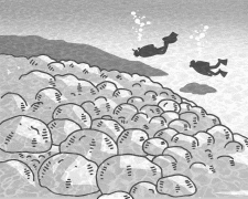
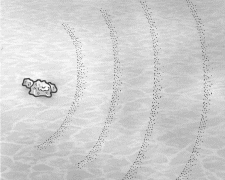
● Ripple Marks
Ripple marks in sandy areas are often formed by wave action
and may run roughly parallel to the shoreline.
|
|
● Visibility
Visibility may change due to river runoff, currents,
or variations in water movement.
Observing these changes can provide directional clues.
|
|
|
|


|
|